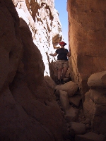
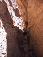
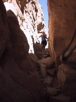
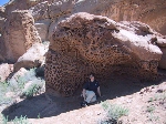
Our hike up to the Pueblo Alto Ruins

Click on the small pictures to see larger ones.

 
At Pueblo del Arroyo, there is a trailhead for the "Alto Mesa Trail". You must get a permit to hike this trail and keep a copy of it with you at all times. The trail is not hard or dangerous, but rules are rules, so we registered at the Visitor's Center. The trail takes you up the side of the cliff via a natural split between the cliff and a large wall-rock. Once on the top, you walk along a mesa for several miles. There are two sets of ruins up there: Pueblo Alto and New Alto. There's also a very interesting map placed there by the Park Service which shows how the road (The "Chaco Highway") forked at this point and went on to Nevada, Utah, and Colorado.


There are shrines atop many of the buttes around this mesa. It's believed that these were signalling stations for long-range communications between communities. The hike also goes past the Jackson Stairway, which is a series of narrow steps and hand-holds carved into the steep wall of the cliff. These stairs were used by travellers arriving in and departing from Chaco. From here, you can also see part of a giant ramp that allowed access to the cliff top from below. This ramp is made of dirt, with masonry walls to support it.


You can also see a great view of Pueblo Bonito from above, which gives a much better concept of how the complex was originally laid out. A bit farther on, you can look down upon Chetro Ketl. It's thought that each of the great-houses in the canyon served a different purpose in the culture of the times, although all were architecturally integrated. Local tribes' oral history links different clans to different great houses, although most history of the canyon is simply not known.


page maintained by
Cheryl